
For the Reporter
King County is asking interested parties to comment on the scope of its environmental review for the Pacific Right Bank Flood Protection Project, the first step in the development of a King County Flood Control District project along the White River.
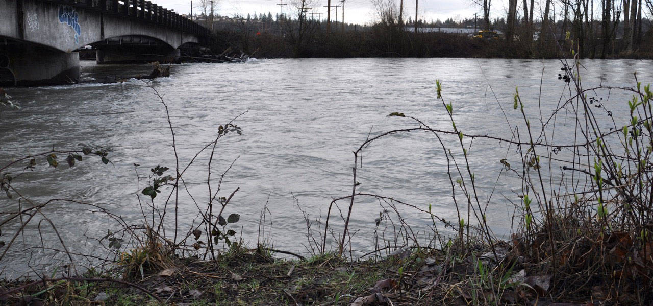
The new project is expected to substantially improve flood protection in the city of Pacific as well as environmental conditions along this stretch of the river. It complements another flood protection project, the Countyline Levee Setback Project, which was completed in 2017. The project will extend from the BNSF Railway to Government Canal.
King County’s public meeting is 6:30 p.m. on Tuesday, March 27, at the City of Pacific Community Center, at 100 3rd Ave. SE, where residents and other interested parties can learn more about how the environmental review process is being conducted.
The environmental review for this project will include the preparation of an Environmental Impact Statement (EIS). The first phase in preparing an EIS is to determine the scope or extent of the environmental review. King County is seeking comments from tribal, federal, state and local governments and all interested persons and groups that will help to identify issues likely to involve significant impacts that should be considered in the EIS.
The scoping period runs from March 12 to April 13. People can comment during the scoping period by attending the public meeting on March 27. They can also comment online by visiting kingcounty.gov/pacific-right-bank and clicking on a link that says “Tell us what you think!” Or they can submit comments by email to Jeanne.Stypula@kingcounty.gov or by U.S. mail or by hand to:
King County Water and Land Resources Division
Attn: Jeanne Stypula, managing engineer
201 S. Jackson St., Suite 600
Seattle, WA 98104
Information collected through this public scoping process will be used to develop up to four alternative alignments. The potential impacts of these alternatives, including a “no action” alternative, will be evaluated in the EIS to determine a proposed project for flood protection along the right (or west) bank of the river. The public will have an opportunity to comment on the project alternatives in early 2019.
As part of the construction of a new project, the county will be able to remove the HESCO barriers that currently provide temporary flood protection to Pacific. Those barriers have been in use for nearly a decade.
The need for increased flood protection in Pacific became evident in January 2009, when the White River overtopped its banks and flooded residences and businesses near the river, including along Third Place Southeast, Third Avenue Southeast, Fourth Avenue Southeast, White River Drive and Butte Avenue Southeast.
Flooding along this stretch of the White River stems from the high sediment load the river transports from its headwaters on Mount Rainier. Much of that sediment is deposited in the stretch of river that runs through Pacific, reducing the channel’s flood carrying capacity. This sediment-related process, called channel aggradation, will continue in the future and has led to increased flood risks.
More information about the Pacific Right Bank Flood Protection Project can be found at kingcounty.gov/pacific-right-bank.
