
It ain’t over till it’s over when it comes to Green River levee projects in Kent.
Crews have completed millions of dollars of work over the last dozen years to improve flood control and fish habitat. But more millions of dollars worth of projects remain.
Mike Mactutis, city environmental engineering manager, who has helped oversee the rebuilding of the levee system, gave the City Council a project update at its Sept. 17 workshop. About seven levee projects are done, one is underway and four remain. The state of Washington (through grants) and the King County Flood Control District (funded by property taxes) pay for most of the work.
Dennis Higgins has closely watched the progress during his 10 years on the council.
“Just an observation about how far we have come,” Higgins said to Mactutis at the workshop. “When I first met you 10 years ago we were talking about everything that needed to be done and it was a daunting list. We have more than half of them checked off. There is work remaining, but the city has done an amazing amount of work in a short period of time and during a challenging period of time from a staffing and funding view. We have had great partners in the county. I think this is a success story.
“A lot of this work has been driven by the endangered species (salmon) listing, however, the city has played a vital role in not only advocating for that, but for our businesses and residents for commerce for protecting the huge amount of economic activity that goes on in the Valley, by building up the levees.
“It’s not just important to Kent but the whole state.”
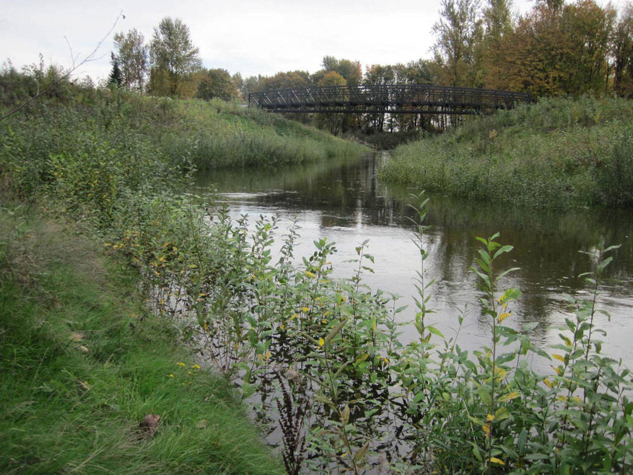
As one of the largest warehouse-distribution areas in the nation, the city has plenty to protect with how much the Kent Valley has been built up over the decades after many years of being a farming community.
Mactutis told the council about how the Green River flooded a lot until the Howard Hanson Dam opened in 1962. Congress approved the Flood Control Act of 1950 that provided funds to numerous projects. Howard Hanson Dam is an earthen dam on the Green River, 21 miles east of Auburn.
“We have had local flooding since, but not a large flood,” Mactutis said. “But the dam does not provide the protection initially thought, so there became a need for improved levees.”
Mactutis said Howard Hanson Dam was designed to provide 500-year flood protection, but an updated study in 2012 determined it provided 140-year protection.
“The projects we did prior to 2012 are at 140-year protection so we need to do additional work,” Mactutis said. “That means about 3 to 4 feet on top of a levee to reach higher protection.”
The improved levees provide better flood protection, improved fish habitat and lower flood insurance costs for businesses and residents when levees are accredited by the Federal Emergency Management Agency (FEMA).
Council President Bill Boyce asked Mactutis to explain what a 500-year flood means.
“It’s a statistical analysis done on computers to show how an area would flood in a large rainstorm known as an atmospheric river based on precipitation data,” Mactutis said. “It’s the likelihood to get a storm once every 500 years, how much rainfall that is and route it down out of the watershed through the dam and into the watersheds at the bottom. They get so much data, they have done these where they put the model in the computer and let the computer run overnight even though it does billions of calculations. These are not simple things to do.”
Work began in August on the largest and most expensive of the projects so far, about $52 million to rebuild the Lower Russell Levee for 1.4 miles between South 212th Street and Veterans Drive (South 231st Way). The work for the setback levee will include a flood wall, new fish habitat areas as well as relocation and reconstruction of the city’s Van Doren’s Landing Park. That project is expected to be completed in 2021.
The next large project will be the Signature Pointe Levee, behind the Signature Pointe Apartments, and running 1.5 miles between the Riverbend Golf Complex driving range and Washington Avenue South.
“This will be the longest levee project and it will probably cost just as much (as Lower Russell) because of the length we are doing,” Mactutis said.
City staff plans to get the project into the King County Flood Control District’s 2020 budget and with a goal to start construction in 2022.
The projects already done include Briscoe/Desimone Levee on the north end of the city and partway into Tukwila; the Boeing Levee; the Upper Russell Levee; the Hawley Road Levee; Foster Park Levee; and the Horseshoe Bend Levee (on the south end of the city).
Other projects to be done include the Milwaukee 2 Levee, between Third Avenue and the Union Pacific Railroad line along South 259th Street, which will connect the Foster Park and Horseshoe Bend levees. The Flood Control District already has approved $18 million for the project.
