Let’s mark the former White River channel through Auburn | Robert Whale
Published 7:30 am Monday, November 22, 2021


The White River channel that once flowed through Auburn dried up more than 100 years ago, but it played such an important part in the city’s early history it should not be forgotten.
I have a suggestion for honoring it. But first, a few facts about the long-gone channel, as related by HistoryLink.org.
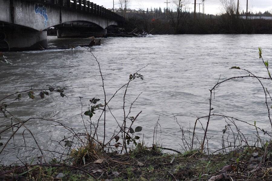
Before 1906, the White River split at Auburn, the primary flow joining its Green River tributary at a point east of today’s 8th Street Northeast bridge. From there, still called the White River, it flowed north through Kent to Renton, where it became the Duwamish River, finally emptying into Elliott Bay.
Beginning in the 1870s, valley farmers suffered through almost annual flooding of the White River. Sometimes, they would dynamite new channels, but this would only shunt the water onto some other farmer’s land, occasioning hard feelings that spilled over into what became known to history as the “Dynamite Wars.”
As copies of the old White River Journal reveal, dynamiting the landscape became a common ritual for valley farmers.
In 1899, one of these explosions went wrong and sent most of the White River into the channel of the Stuck River, originally a small brook that broke off from the White River south of Auburn and flowed westward into Commencement Bay.
But in 1906, a massive flood broke through the thin barrier that separated the White and the Stuck rivers, sending all of the White River water southward to Commencement Bay as it does today.
The completion of Mud Mountain Dam in 1948 — White River — and Howard A. Hanson Dam in 1962 — Green River — have since eliminated all major flooding in the valley, changing the course of development.
As long as memory serves me, I’ve tried to visualize it. Something haunting about that, like tracing across the west the remaining ruts left by the covered wagons that followed the Oregon trail westward.
Problem is that now, with a few notable exceptions — the segment at Cedar Lanes Park in southeast Auburn, the gully behind Fulmer Field and the School District Administration building north of 4th Street Northeast — most of it is now buried and invisible. Photographs taken after the diversion show the drying riverbed under a bridge on what is now Auburn Way South. The Masonic Temple is built on it.
Years ago, this gave me an idea.
What if there were some way to mark, when possible in Auburn, where it flowed?
Doesn’t have to be a big deal: a few splashes of paint, a sign or two, maybe some metal discs on the sidewalks where safety precludes standing in a street. A walk for those so minded.
Because a significant portion of the old course is now buried under Auburn Way South — Highway 164 —The Washington State Department of Transportation would need to get involved with any such project.
Yeah, it would cost money, but not a lot. Auburn’s Mayor has a discretionary fund with up to $25,000 in it and a few humble markers would certainly not empty it.
Who knows? It could be the start of something to build on in future years that could catch the interest of the Muckleshoot Tribe. After all, Native Americans were here for thousands of years before white settlers arrived in the mid-19th century, and a few signs to point out places of significance in tribal history would be appreciated.
Anyway, there’s the idea. What do you think?
–
Robert Whale can be reached at rwhale@www.auburn-reporter.com.